
Map Skills Students Should Master in Elementary School
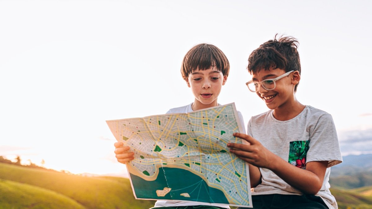
Even in the age of GPS, map skills for kids are vital because they teach far more than just how to get from one place to another. Learning to read and interpret maps builds spatial thinking, critical analysis, and problem-solving skills that transfer to math, science, and real-world decisionmaking. Maps also connect students to history, culture, and the environment, helping them see how people and places are interconnected. Beyond academics, map literacy fosters independence and confidence, giving kids the ability to navigate when technology fails. In short, GPS tells you where to go, but map skills tell you why the world looks the way it does.
This set of map skills for kids to master by the end of each grade is a compilation of state and national map standards and skills.
Kindergarten Map Skills
By the end of Kindergarten, students should be introduced to:
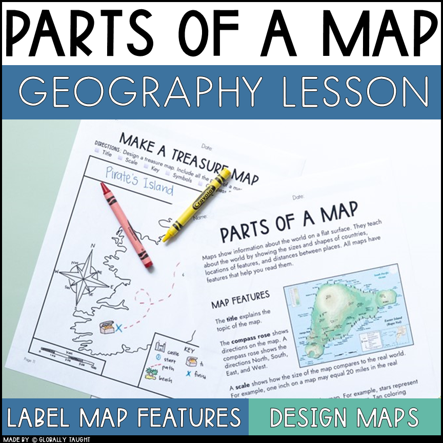
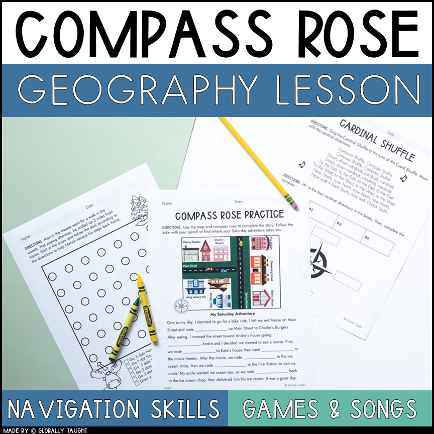
Use a compass rose to identify cardinal directions (North, South, East, and West)
By the end of Kindergarten, students should be able to:
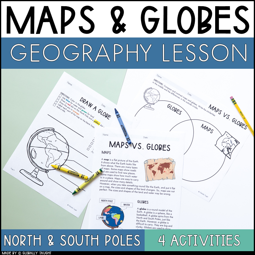
Explain that a map is a drawing that represents a place and a globe is a model of the Earth
Identify land and water on basic maps and globes
Explain that maps and globes show features of the Earth in smaller sizes
State the address, city, state, and country in which they live
First Grade Map Skills
By the end of First Grade, students should be introduced to:
Use a compass rose to identify cardinal directions and intermediate directions (Northeast, Northwest, Southeast, Southwest)
Use a map to explain the impact of geography on historical and current events
By the end of First Grade, students should be able to:
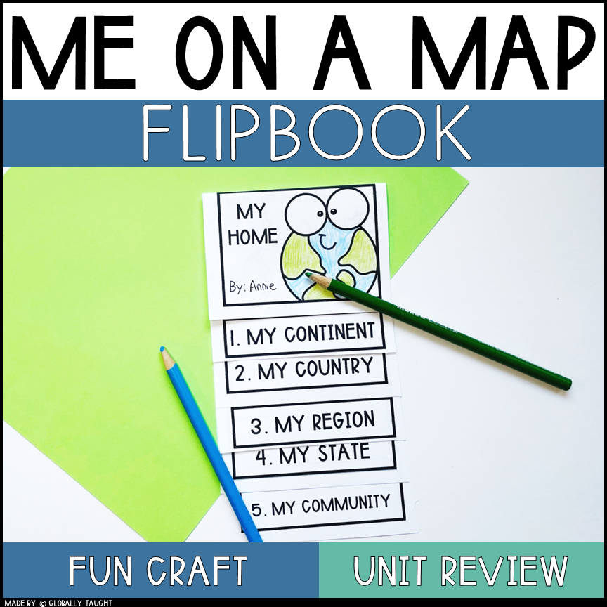
Identify and locate the city, county, state, country, and continent in which they live on a basic map or globe
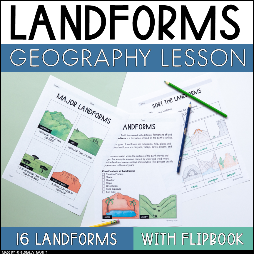
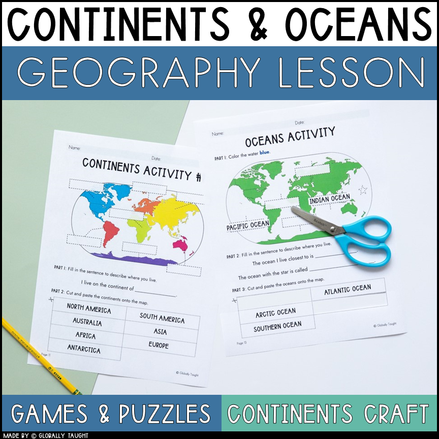
Locate major features of the Earth’s surface, including the seven continents and five oceans, as well as the following landforms: mountains, deserts, islands, oceans, valleys, and coasts
Master these Skills
Second Grade Map Skills
By the end of Second Grade, students should be introduced to:
Use a grid system to find a location on a map
Compare and contrast natural, cultural, and political features found on maps
Use map key to gather information from different types of maps, including physical, political, historical, resource, product, and economic maps
By the end of Second Grade, students should be able to:
Use a compass rose to identify cardinal and intermediate directions
Use maps to explain how geography influences historical or current events
Locate major topographical features of their state and/or region, including the major landforms and bodies of water
Acquire information from various representations of the Earth, including maps, globes, and photographs
Master these Skills
Third Grade Map Skills
By the end of Third Grade, students should be introduced to:
Draw conclusions and make generalizations based on information from maps
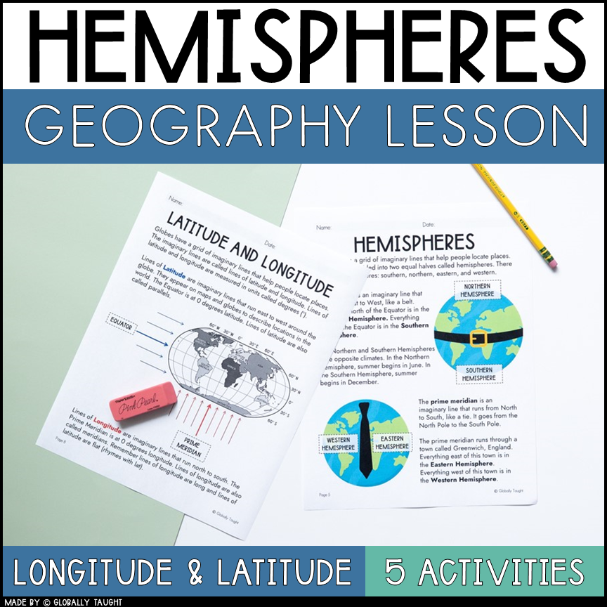
Use longitude and latitude to determine location
Examine how humans interact with their physical environment by using land, building cities, and changing ecosystems
By the end of Third Grade, students should be able to:
Use a grid system to determine location on a map
Compare and contrast natural, cultural, and political features found on maps
Use map key to gather information from different types of maps
Use a map to explain the impact of geography on historical and cultural events
Locate and describe the equator, prime meridian, and lines of latitude and longitude on a globe
Locate major topographical features of their country on a physical map, including major rivers, deserts, and mountain ranges
Describe how physical systems, such as seasons, climate, weather, and the water cycle, affect human systems, for example why early humans settled in the areas they did in permanent versus impermanent villages, how physical geography affects economic activities, and why early humans succeeded or failed to adapt depending on their physical geography
Construct mental maps of places that demonstrate an understanding of location, direction, distance, size, and shape
Fourth Grade Map Skills
By the end of Fourth Grade, students should be introduced to:
Use map scales to estimate distances on a map
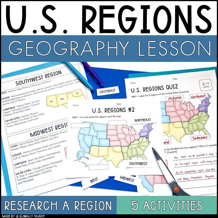
Compare maps of the same place at different points in time and from different perspectives to determine changes, identify trends, and generalize about human activities
Compare maps with datasets (charts, tables, graphs) or informational texts to draw conclusions
By the end of Fourth Grade, students should be able to:
Use map key to gather information from different types of maps
Use a map to explain the impact of geography on historical and cultural events
Draw conclusions and make generalizations based on information from maps
Use longitude and latitude to determine location
Locate important physical and manmade features in their country
Apply how physical systems affect human systems, in historical concepts, for example in war how forces used physical geography to their benefit
Master these Skills
Fifth Grade Map Skills
By the end of Fifth Grade, students should be able to:
Use graphic scales to determine distances on a map
Use longitude and latitude to determine location
Compare maps of the same place at different points in time and from different perspectives to determine changes, identify trends, and generalize about human activities
Compare maps with data sets (charts, tables, graphs) and/or readings to draw conclusions and make generalizations
Explain the reasons for the spatial patterns of economic activities, for example the locations of important agricultural and industrial locations
Explain how factors such as population, transportation, and resources have influenced those areas
Use resources, including data, atlases, grid systems, charts, graphs, and maps to generate and interpret information
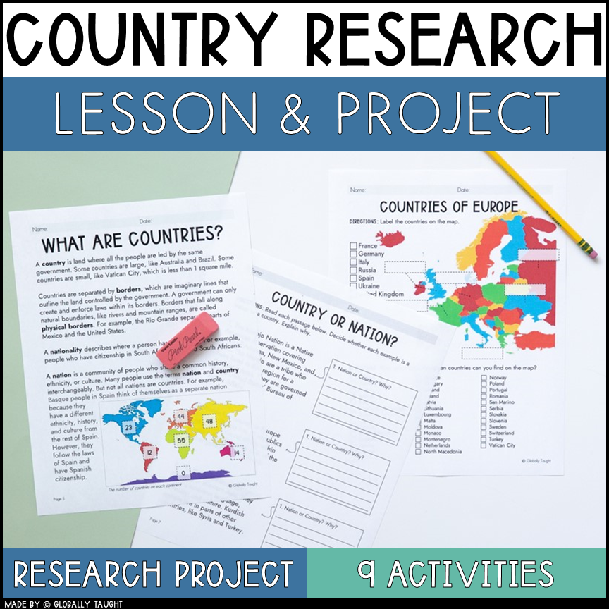
Start Your World Geography Unit Today
Explore Our Comprehensive World Geography Unit
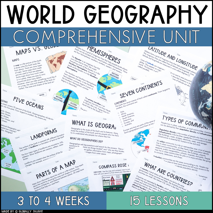
Dive into geography with 15 highly engaging geography lessons! This World Geography Unit includes 15 geography lesson plans and over 400 pages of activities, projects, games, and crafts to learn about world geography.
All inclusive! All lessons are equipped with easy instructions and ready-to-use activities. No extra planning or supplemental materials are needed.