 Image 1 of 4
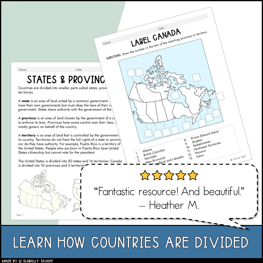 Image 2 of 4
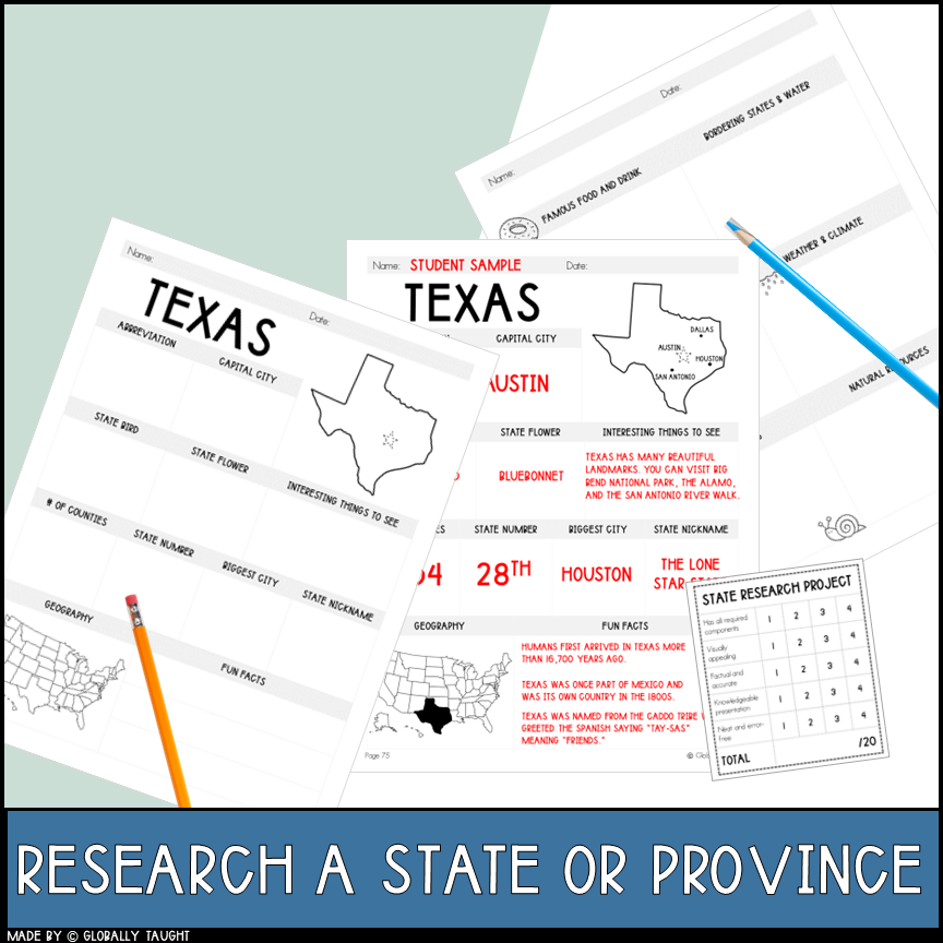 Image 3 of 4
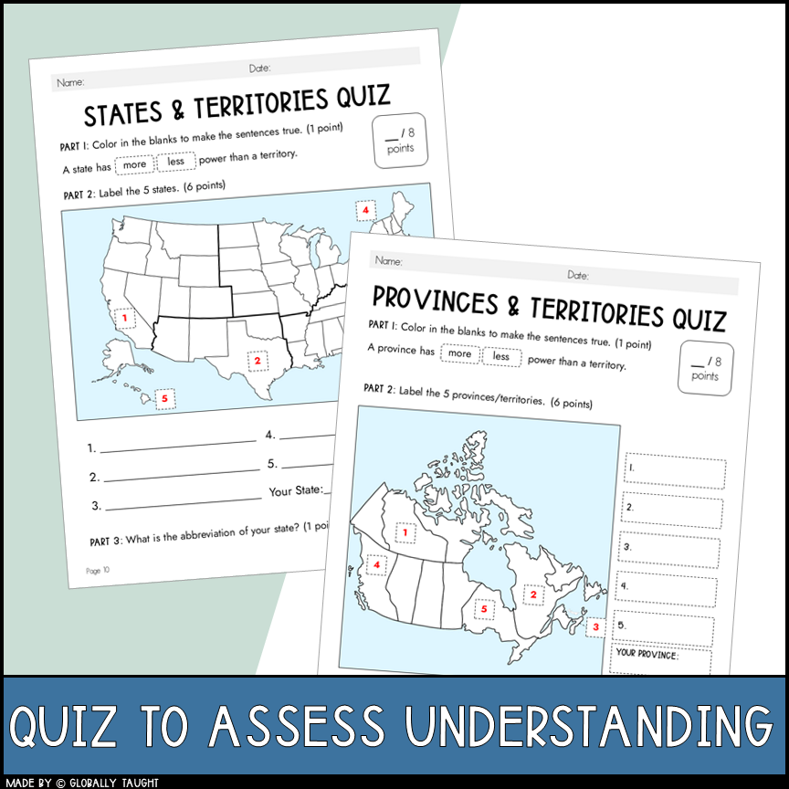 Image 4 of 4
50 States Lesson with Canadian Provinces - 50 States Research Project & Activities
Teach students about states and provinces with a ready-to-use geography lesson!
Students learn how countries are organized into smaller geographic divisions and how states and provinces help us identify places on a map. This lesson builds geographic vocabulary and helps students understand the relationship between countries and their regions.
What’s Included
Lesson Plan: A structured two-day lesson to introduce and research states and provinces.
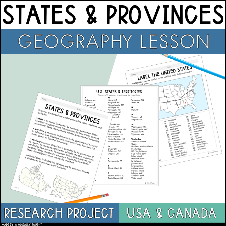
Reading Passage & Glossary: Teach students about how countries are divided into states, provinces, and territories.
Authentic Activities: Practice identifying and labeling maps of countries, and how they are divided.
Research a State/Province Project: Students research a state with 64 poster options of each state and province, plus recommended resources and a rubric to quickly grade each project.
Quick Quiz: Reinforce learning and assess students’ retention.
Answer Key: Make checking student work easier.
What Will Students Learn?
Learn the difference between states, provinces, and other geographic divisions.
Build their understanding of how countries are organized.
Practice geography skills and apply what they learn to maps.
Perfect for:
Elementary geography and social studies
Map skills practice
A world geography unit
Independent work, small groups, or whole-class instruction
Use this lesson to help students make sense of the places they see on maps and the different ways countries are organized.
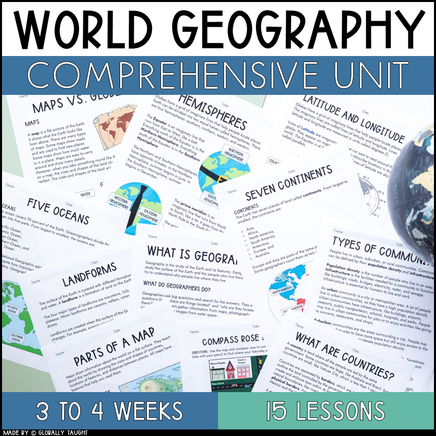
Teaching more geography skills? Explore our World Geography Unit, which includes 15 lessons with ready-to-use activities, projects, and crafts for three weeks of geography studies.
Lesson 1: What Is Geography?
Lesson 2: Maps and Globes
Lesson 3: Parts of a Map
Lesson 4: Compass Rose and Cardinal Directions
Lesson 5: Compass Rose and Intermediate Directions
Lesson 6: Hemispheres
Lesson 7: Longitude and Latitude
Lesson 8: Continents and Oceans
Lesson 9: Country Research Project
➡️ Lesson 10: States and Provinces
Lesson 11: Five Regions of the United States
Lesson 12: Urban, Suburban, and Rural Communities
Lesson 13: Landforms
Lesson 14: Bodies of Water
Lesson 15: Me on a Map Flipbook Review
Before You Purchase
This is a digital download. No physical product will be shipped.
The resource is provided as a PDF file containing the unit materials. Please make sure your device can open PDF files before purchasing.
This resource is not editable unless otherwise noted.
Your purchase includes a single-teacher, single-classroom license. Please purchase additional licenses if you intend to share the resource with other teachers.
You will be able to access your purchase through your Globally Taught account and receive future updates.
Please preview the resource before purchasing to make sure it is a good fit for your students and teaching needs.
Quick Product Details
Grade: 3rd-5th
Pages: 97-Page Lesson Plan
Teaching Duration: 2 days
Answer Key: Yes with rubric
Format: PDF download